
Resources
Looking for data? Explore our coverage maps and the geospatial resource links below.
Require assistance? Complete the form and a GeoWizard will search for you.
-
Aerial Photographic Record System (APRS)
Purchase raw digital scans or prints of aerial photographs from the Alberta Photographic Record System (APRS).
-

Airborne Imaging Inc.
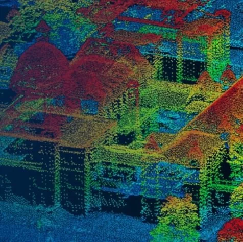
Acquire new collect or purchase existing LiDAR from Airborne Imaging Inc.
-
Alberta Biodiversity Monitoring Institute (ABMI)
Access to LiDAR, historical orthophoto, and other free geospatial land surface data products.
-
Base Map Online Store (BMOS)
Purchase raw aerial photos, maps and orthophoto from British Columbia’s Base Map Online Store (BMOS).
-
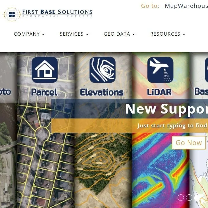
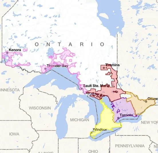
First Base Solutions
Purchase geospatial data of Ontario with MapWarehouse, stream imagery on-demand with MapCast, and analyze data with VuMap, all offered from First Base Solutions.
-
GEO.ca
Discover open data, applications, and maps, along with the tools you need to visualize, analyze, and share the insights you create.
-
GeoNB
GeoNB is the Province of New Brunswick’s gateway to geographic information and related value-added applications.
-
GeoNOVA
Purchase a range of products such as maps, atlases, and charts, as well as the GeoNova Portal, a gateway to open digital map data.
-

GeoYukon
Access FREE aerial photographs and satellite images using GeoYukon from The Government of Yukon.
-
HxDR Data Store
Instantly download aerial data from the Hexagon HxDR Data Store.
Need help? HxDR Data Store Guide
-
LidarBC
Download FREE Light Detection and Ranging (LiDAR) data collected by the Government of British Columbia.
-
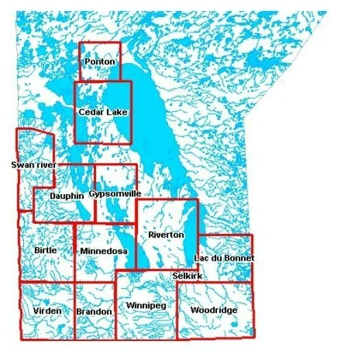
Manitoba Land Initiative Core Maps – Data Warehouse
Resource links from the Manitoba Land Initiative. The Core Maps – Data Warehouse provides a broad range of provincial base map products.
-
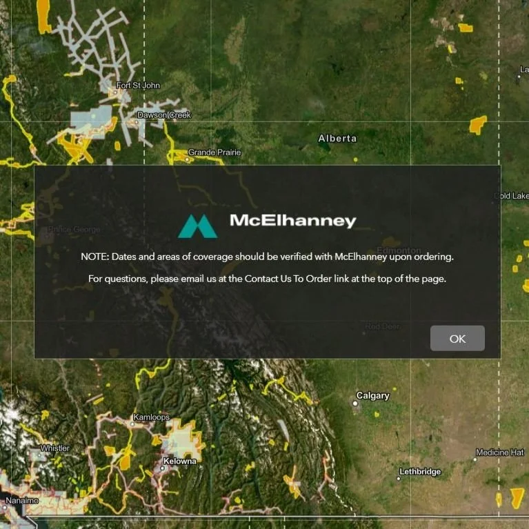
McElhanney LiDAR and Orthophoto Catalogue
Purchase LiDAR and Orthophoto from McElhanney.
-
NAPL - Earth Observation Data Management System (EODMS)
Purchase raw aerial photos and satellite images using the Earth Observation Data Management System (EODMS) from the National Air Photo Library of Canada.
-

Newfoundland and Labrador Surveys and Mapping Services
Purchase orthophoto, raw images, and a variety of mapping products from Newfoundland and Labrador’s Fisheries, Forestry, and Agriculture Department.
-

NWT Centre for Geomatics
Resource links for a broad range of maps, data resources, and web mapping applications.
-
Ontario GeoHub
Resource links for the Ontario Imagery Program, Elevation Mapping Program, Forest Resources Inventory as well as MNRF Data Access Requests.
-

SGIC Public Orthophotos (Image Server)
Stream 2008-2022 orthophoto with ArcMap or ArcGIS Pro from the Saskatchewan Geospatial Imagery Collaborative (SGIC) Public Orthophotos (Image Server).
-
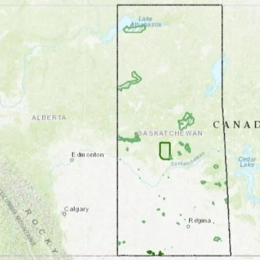
SGIC Orthophoto and Digital Elevation Models (DEM)
Purchase 2008-2016 Saskatchewan Geospatial Imagery Collaborative (SGIC) orthophoto and digital elevation models (DEM).